
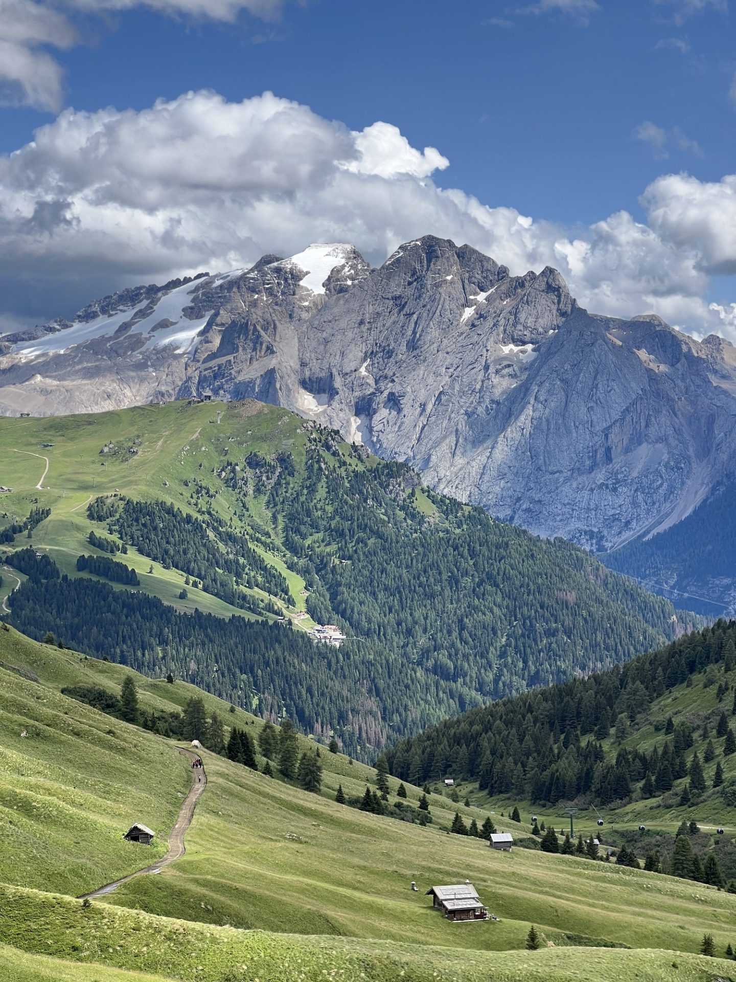
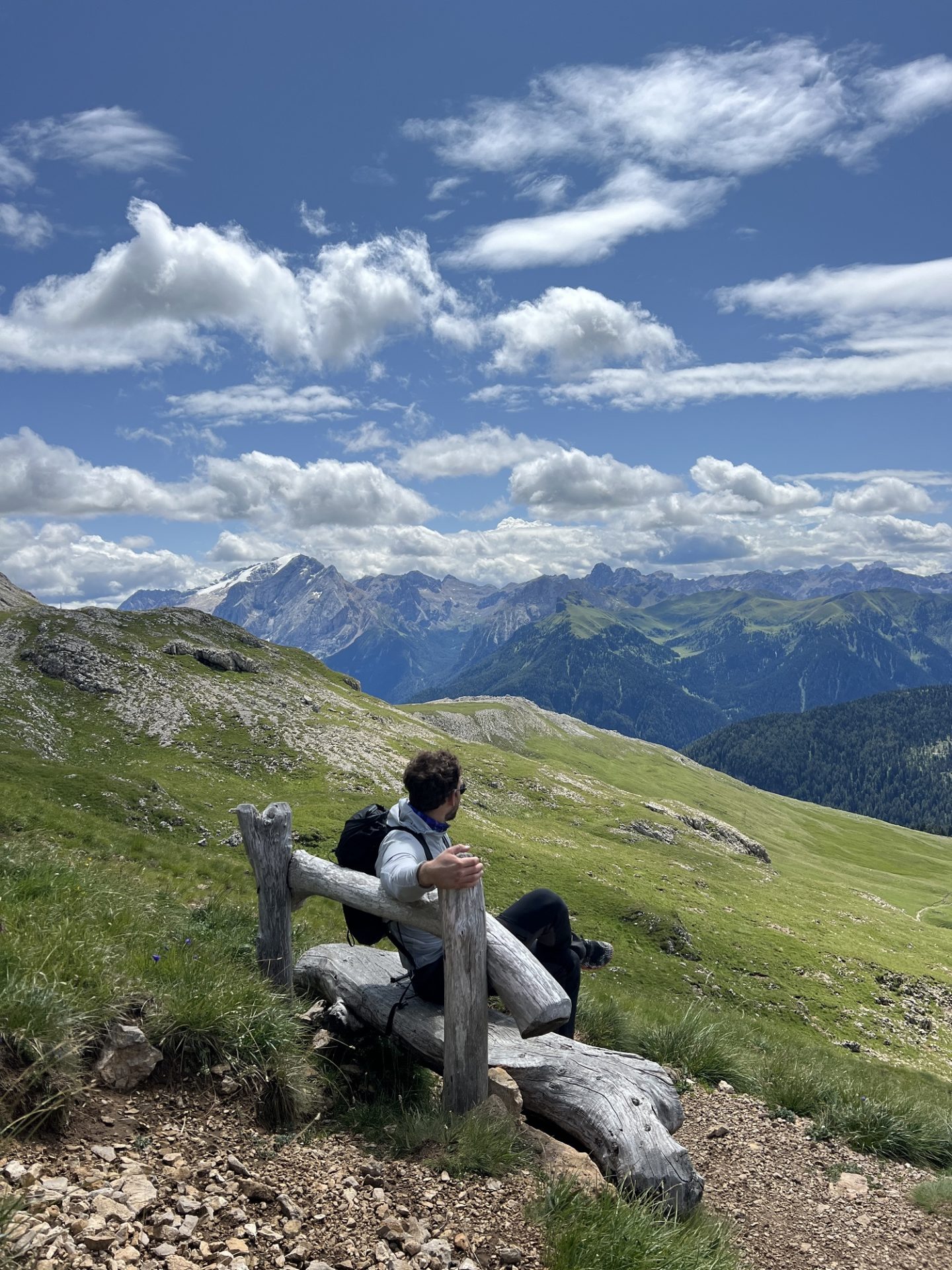
The Brenta group is one of the nine major mountain systems within the Dolomites region in northern Italy, and it is part of the UNESCO World Heritage site which covers the area. Since it is the only Dolomites group to be located to the West of the Adige River, it’s often overlooked by travellers and as a result is a bit of a hidden gem. It has all the classic features of the Dolomites – towering peaks, flowing rivers and pristine meadows – but with less crowds and slightly cheaper prices. The dream! So if you’re looking to lace up your hiking boots and step off the main tourist path, I highly recommend visiting the beautiful Brenta group.
The Practicalities
Getting There: The nearest airport to the Brenta Dolomites is Innsbruck in Austria. From there you can rent a car and drive to the region in a couple of hours.
Getting Around: I highly recommend you rent a car. While lifts & cable cars connect you within the mountains, getting the trailheads often requires access in a vehicle. Opt for a four wheel drive if you can.
When To Visit: The best time to visit is between late June and late September. The snow will be melted, the routes will be accessible, the mountain huts will be open and the cable cars will be running.
Where To Stay: There are multiple towns within reaching distance of the Brenta Dolomites, but the main hub is Madonna di Campiglio. Other popular hubs include Pinzolo, Male and Molveno.
Accommodation: There are an abundance of hotels, guesthouses and airbnbs in the valley. They are significantly cheaper than those in more well-known regions of the Dolomites.
How Long To Stay: I would recommend visiting for a minimum of 2-3 full days so you can get a proper taste for the beauty of the Brenta Dolomites.
The Best Hikes in the Brenta Dolomites
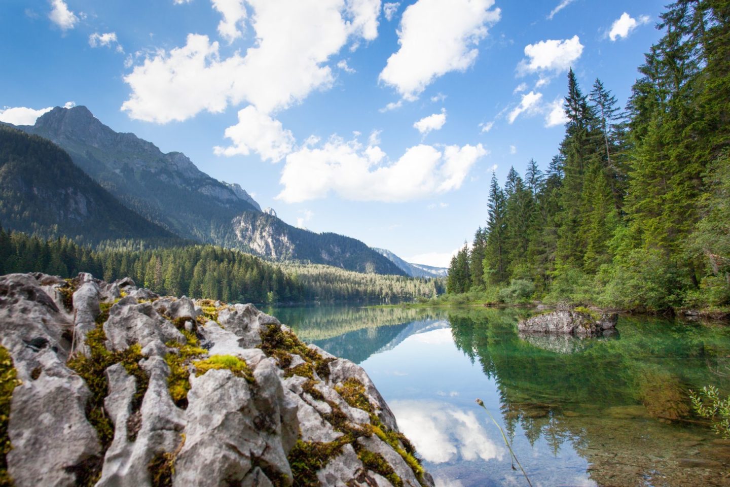
The 5 Lakes Hike:
This is perhaps the most famous hike in the Brenta Dolomites and for good reason. It goes past five absolutely stunning lakes and via two different mountain huts. You can either hike up from the valley floor or catch the cable car up to Rifugio 5 Laghi and down from Rifugio Viviani – depending on how long and challenging you would like the route to be.
Distance: 8-11km depending on the specific route.
Elevation Gain: 500-800m depending on the specific route.
Difficulty: Moderate
Trail Map: Click here.
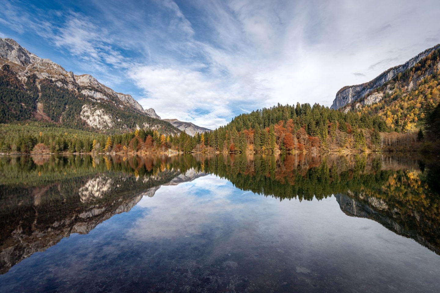
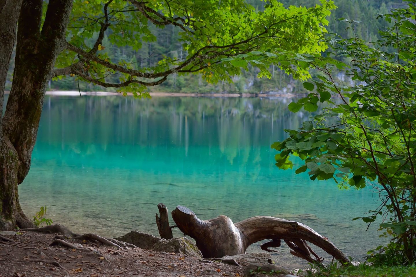
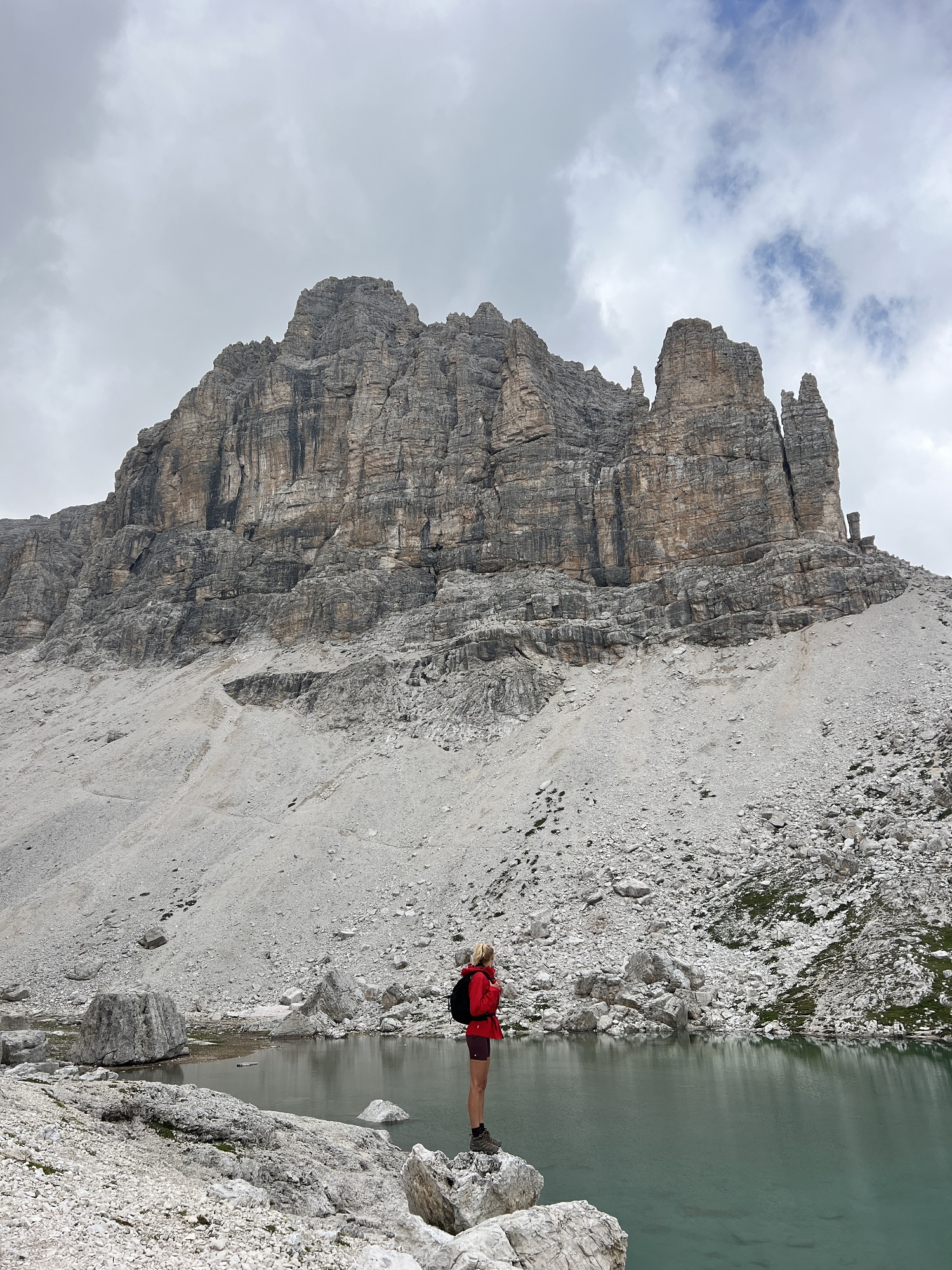
Lago di Tovel Viewpoint:
Lago di Tovel is by far the most famous lake in the Brenta Dolomites, best known for its turquoise blue waters which used to turn red due to algae. This hike takes you from the shores of the lake up into the surrounding peaks to a panoramic point where you get stunning views of the area.
Distance: 7.4km
Elevation Gain: 700m
Difficulty: Moderate to Challenging
Trail Map: Click here.
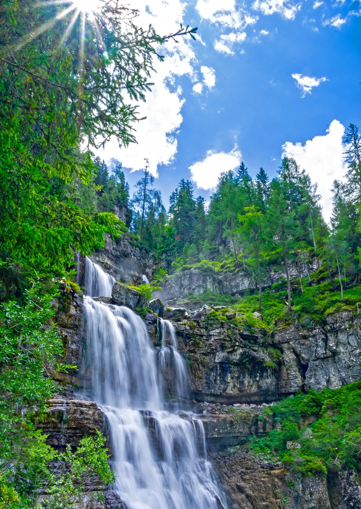
Vallesinella Waterfalls Loop:
If you’re looking for a hike to do on a rainy or cloudy day, this is it. The route explores one of the lower valleys in the Brenta Dolomites, sticking mainly to sheltered paths in the woodland. It is a gorgeous forest walk that passes by a series of waterfalls, just make sure you have a four-wheel drive car to get to the trailhead.
Distance: 11km
Elevation Gain: 550m
Difficulty: Moderate
Trail Map: Click here.
Lago San Giuliano:
This circular route weaves up from the Poc da li Fafc car park to the beautiful Lake San Giuliano and Lago Garzone, where there is a church and a mountain refuge to refuel at, before passing through meadows and beside Lake Vacarsa. It is a tough hike, but you will be rewarded with incredible scenery.
Distance: 14.2km
Elevation gain: 1050m
Difficulty: Challenging
Trail Map: Click here.
Laghi di Cornisello & Lago Nero:
This easy loop trail winds past Laghi di Cornisello before climbing a short and steep ascent up to Lago Nero, which gives panoramic views of the area. It ends at Rifugio Cornisello where you can refuel and enjoy a drink in beautiful surroundings. A great option for a day when your legs are tired or you’re short on time.
Distance: 4.7km
Elevation Gain: 190m
Difficulty: Easy
Trail Map: Click here.
Are you looking for more hikes in the Brenta Dolomites?
I recommend visiting the tourism information centre in Madonna di Campiglio and purchasing a local hiking map for one Euro. It lists all the most popular and accessible routes in the region – ranging from short easy hikes to longer full-day adventures.
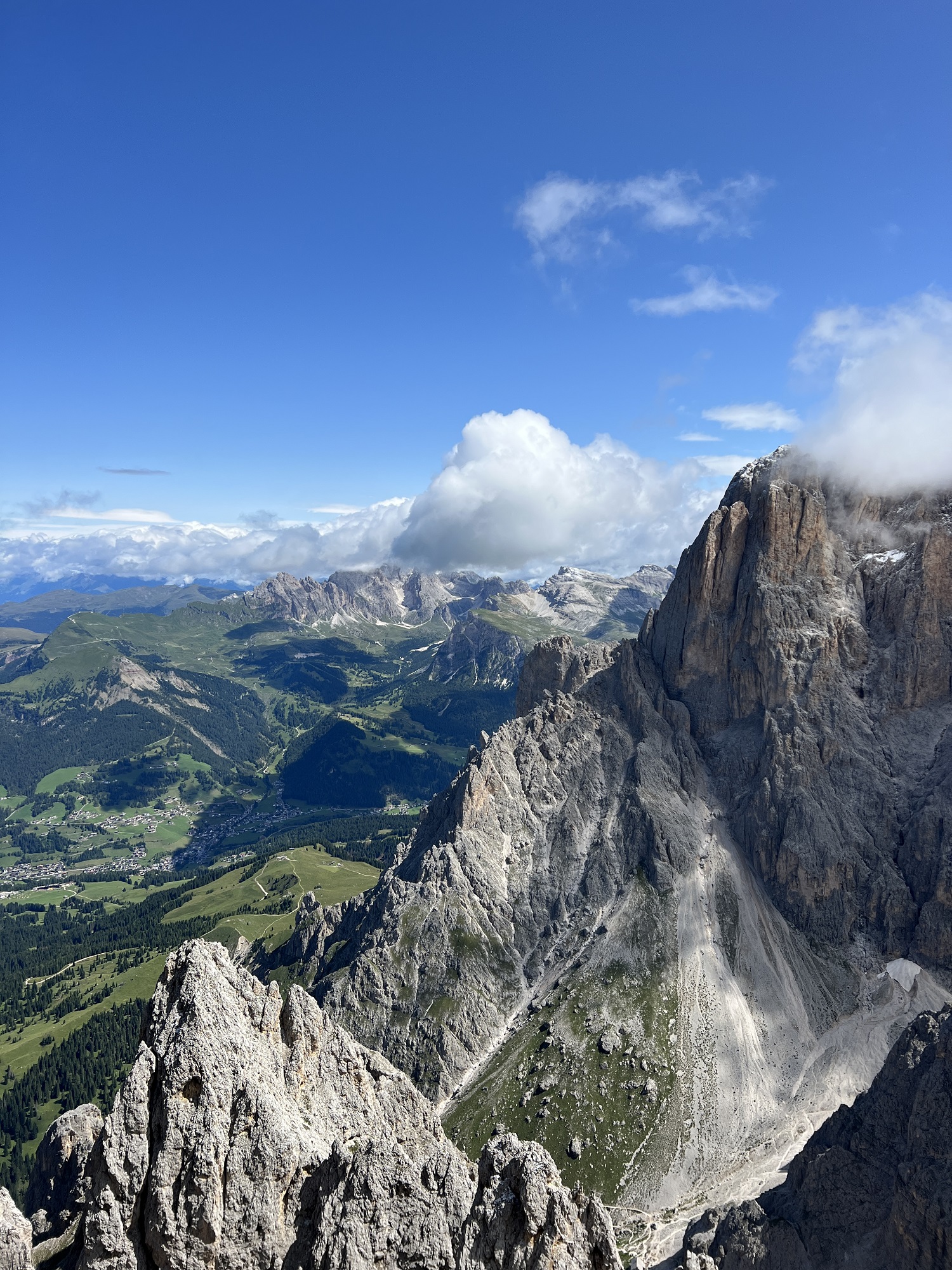
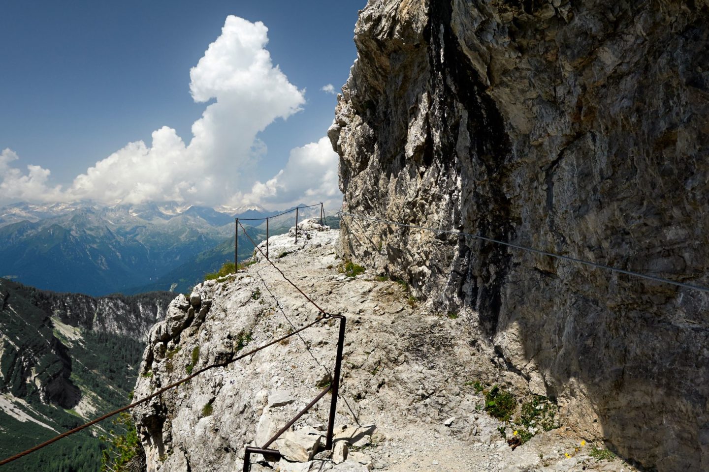
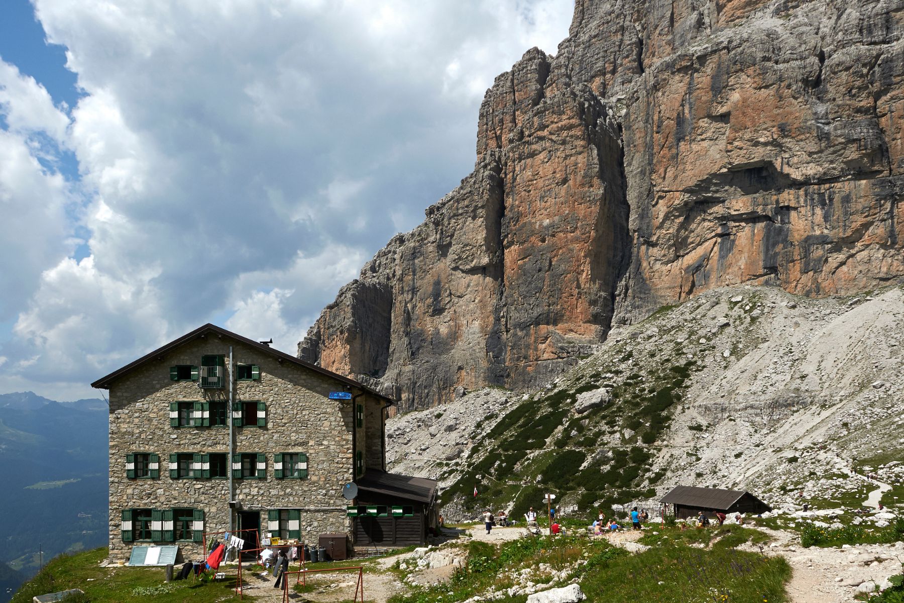
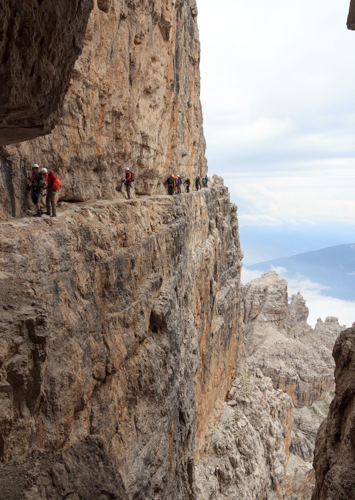
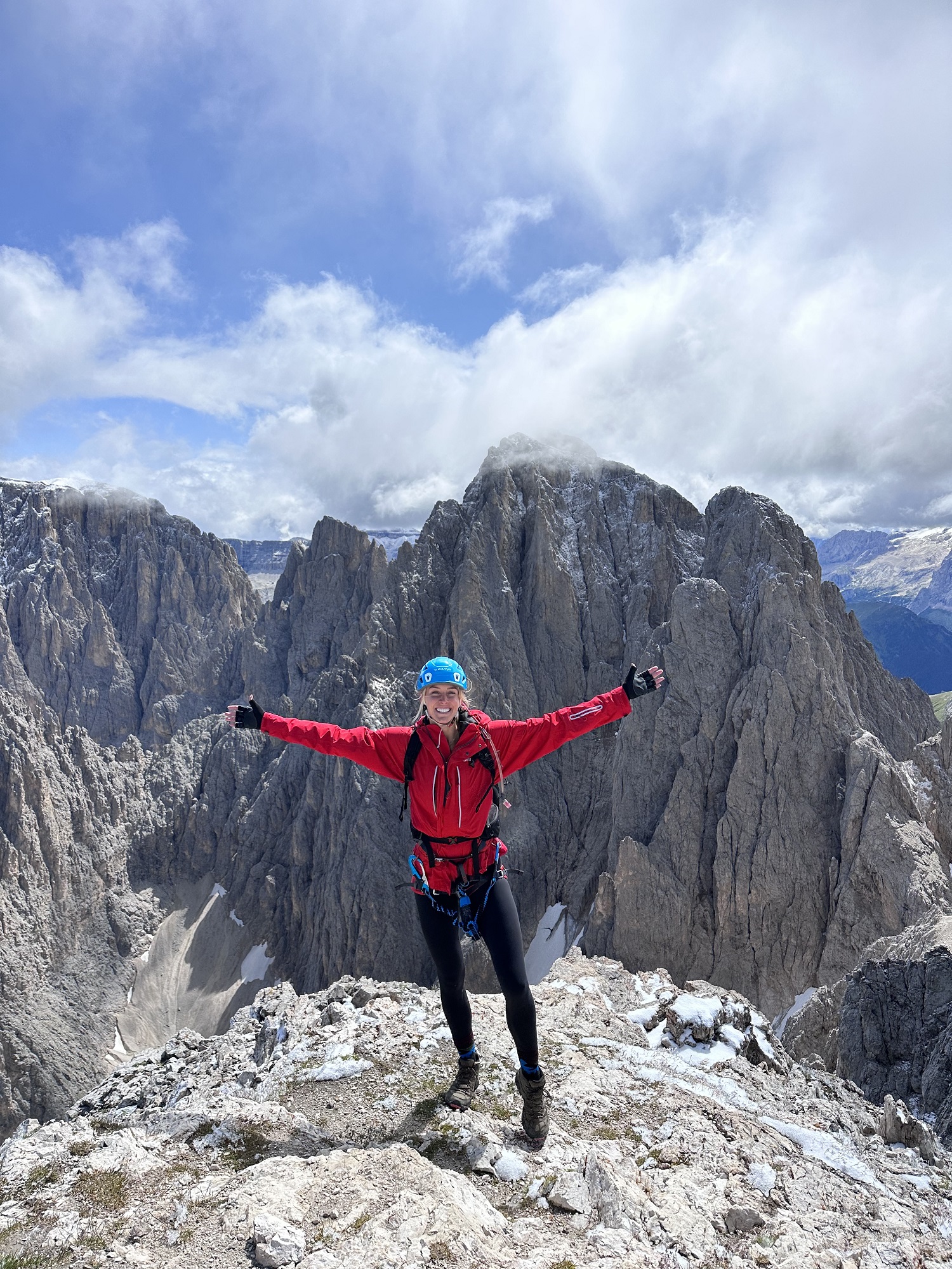
Via Ferrata
The Brenta Dolomites are home to one of the most famous, old, scenic and classic via ferrata routes in the world – the Via delle Bocchette. It crosses the entire Brenta Dolomites mountain range and takes a few days to complete the whole route, but you can easily tackle sections within a single day. The unique feature of this via ferrata is that it is more of a horizontal traverse than a vertical ascent, so you will spend a lot of time on ledges and climbing down, as well as up.
If you’re looking to do a one-day via ferrata in the region, then a great loop starts and ends at Rifugio Stoppani, and goes through the Alfredo Benini section of the Via Delle Bochette. The route is around 11km long with 900m of elevation gain, the hiking is challenging but the via ferrata itself is very beginner-friendly. You can find an interactive map for it here.
Fancy A Challenge?
Try the Dolomiti de Brenta Trek – a 96km multi-day hike during which you stay in a variety of mountain refuges, alpine huts and bivouacs. The route isn’t for the faint hearted, as all sections of the trail are medium to advanced difficulty, designed for experienced hikers with via ferrata experience and equipment. That being said, it is the perfect way to experience the more popular southern areas of the Brenta Dolomites as well as the wilder and less-known Eastern regions.
Want to explore more of the Dolomites? Check out my other blog posts:
The Best Hikes in Cortina d’Ampezzo
Safe travels,
Zanna x
