
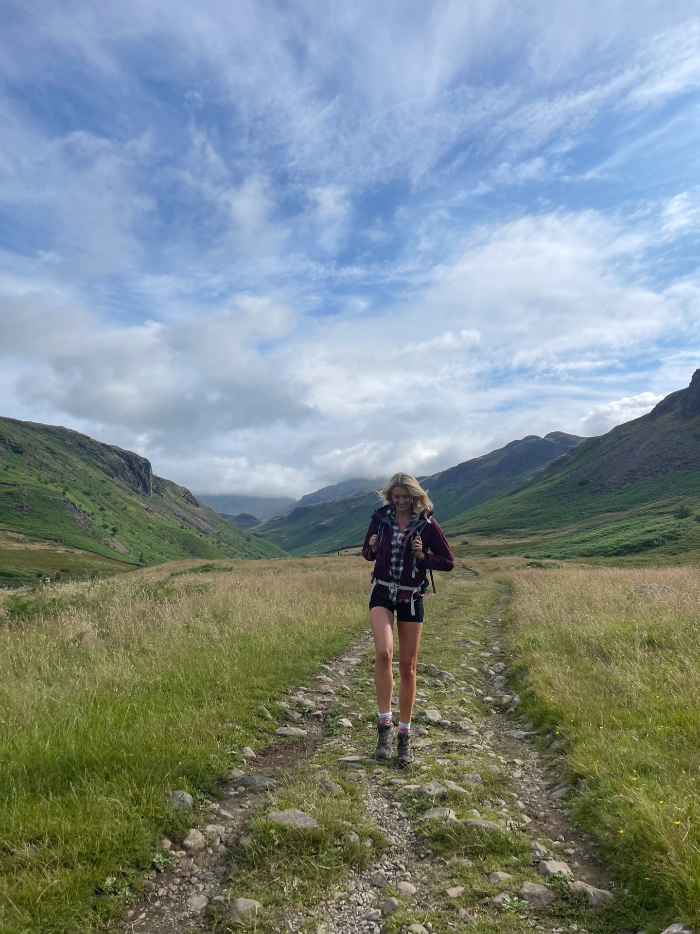
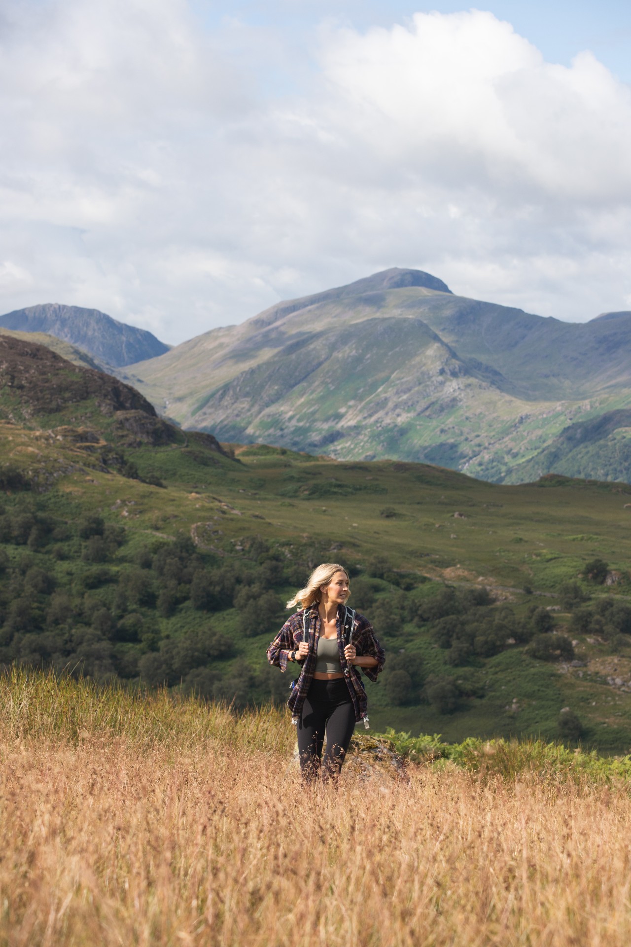
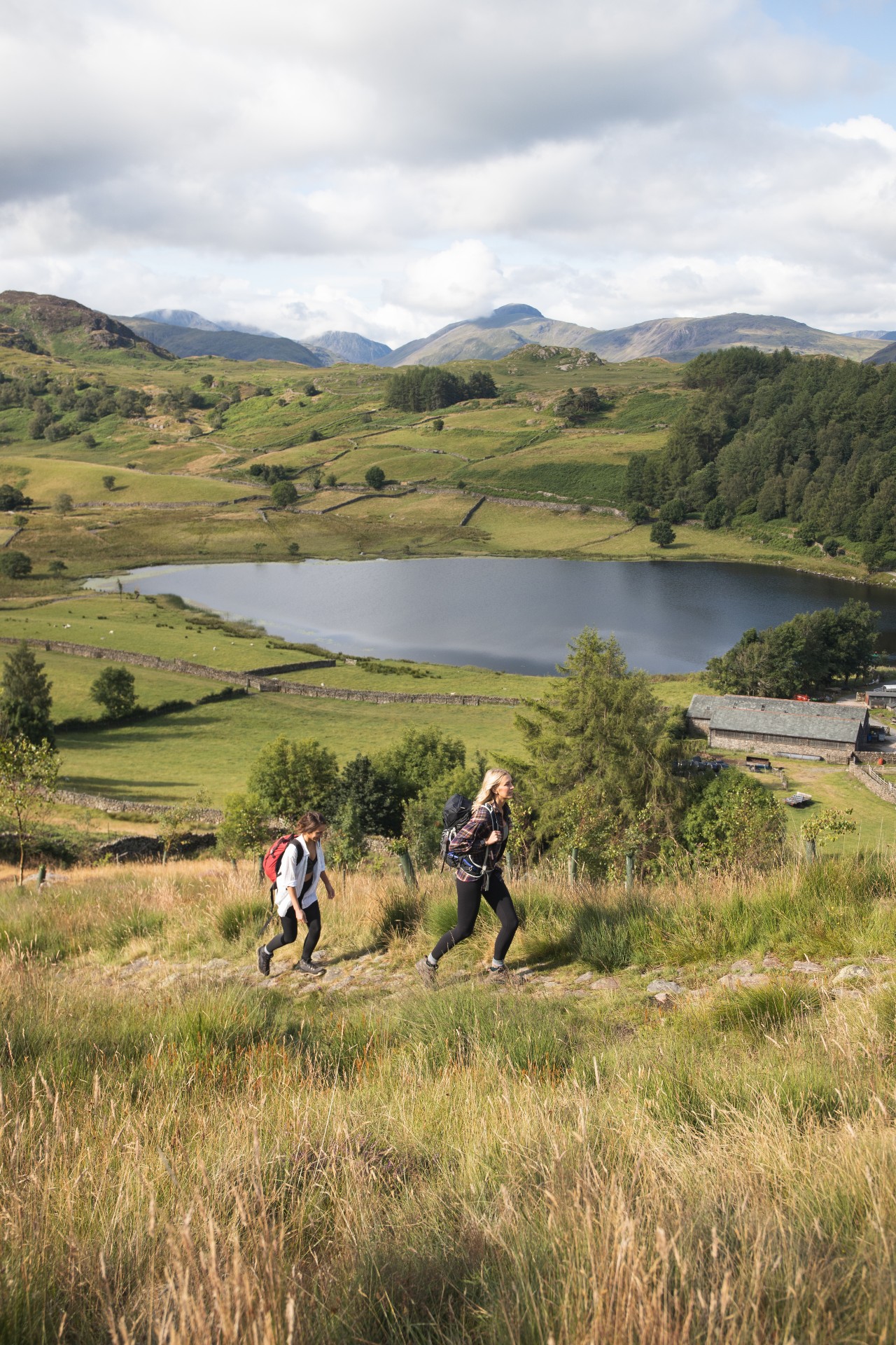
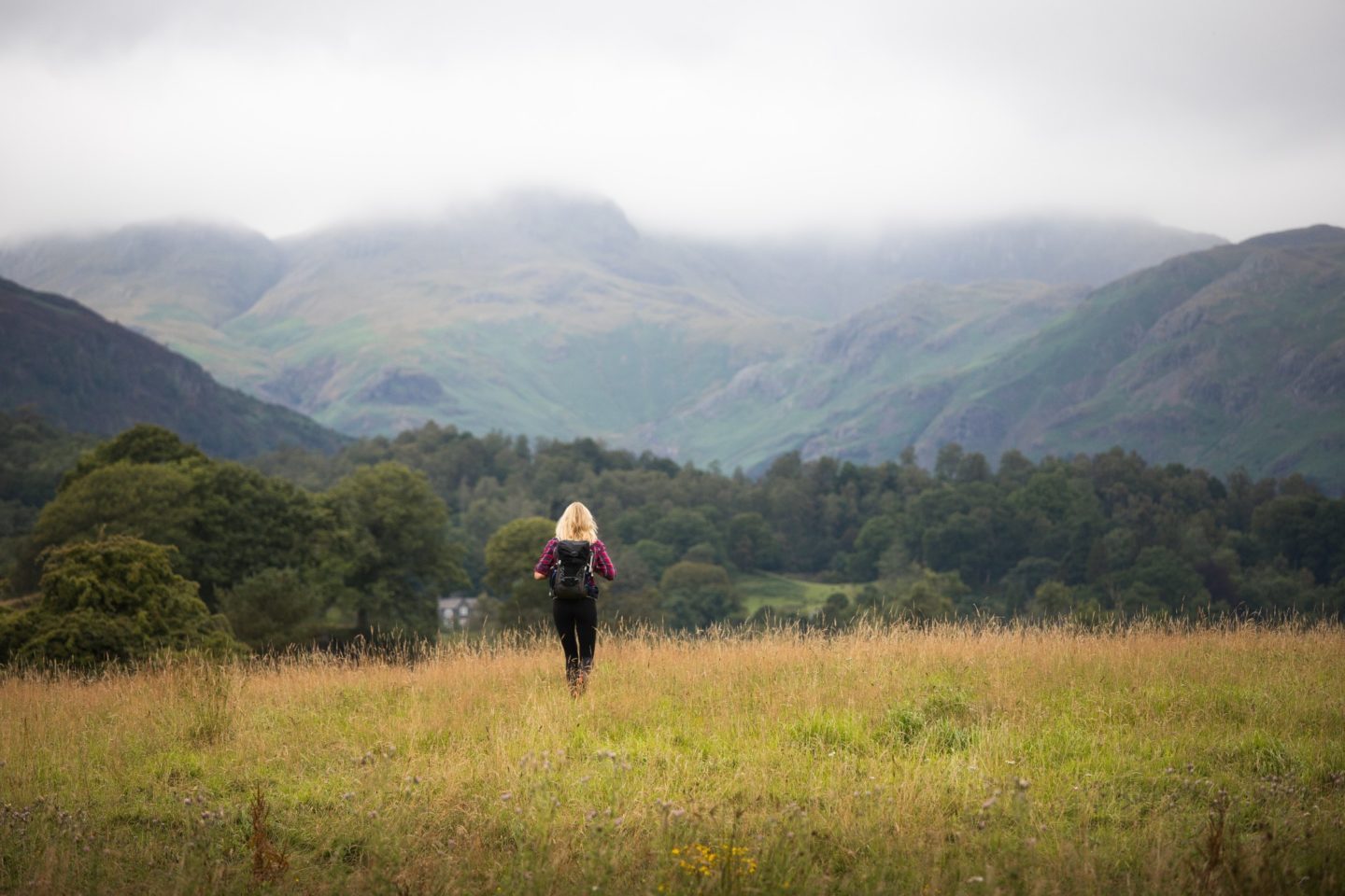
The Lake District has taken pride of place as perhaps my favourite place in the whole of England. As an avid hiker, it is true hiking heaven. Glacial lakes, fell mountains, quaint villages and dramatic landscapes which wouldn’t go amiss in New Zealand. It is the perfect destination for an active escape immersed in nature.
Before we jump into the top hikes in the region, please do check out my full Lake District Active Travel Guide which has practical travel tips, wild swimming spots, scenic drives, restaurant recommendations and adventurous activities you can try.

Key Lake District Travel Tips:
Pack for all weathers. The Lakes have a mountain micro climate and it rains 200 days of the year, so don’t assume that just because it is summer you’re safe from the cold. While it may be warm in the valleys it can be freezing and stormy on the peaks. Pack for ALL weathers, I literally mean hats and gloves in August.
Carry cash. I recommend carrying coins and change with you to pay for parking, as there are many pay and display machines which don’t take cards.
Be early. If you want a guaranteed parking spot then it is best to get to popular hikes early in the day, I’m talking pre-9am at least, especially in peak season. Plus this means you get to enjoy beautiful locations without the crowds.
Take a map. I recommend taking an Ordnance Survey map for the region you’re hiking in, as well as a digital map on an app such as AllTrails which uses offline GPS technology.
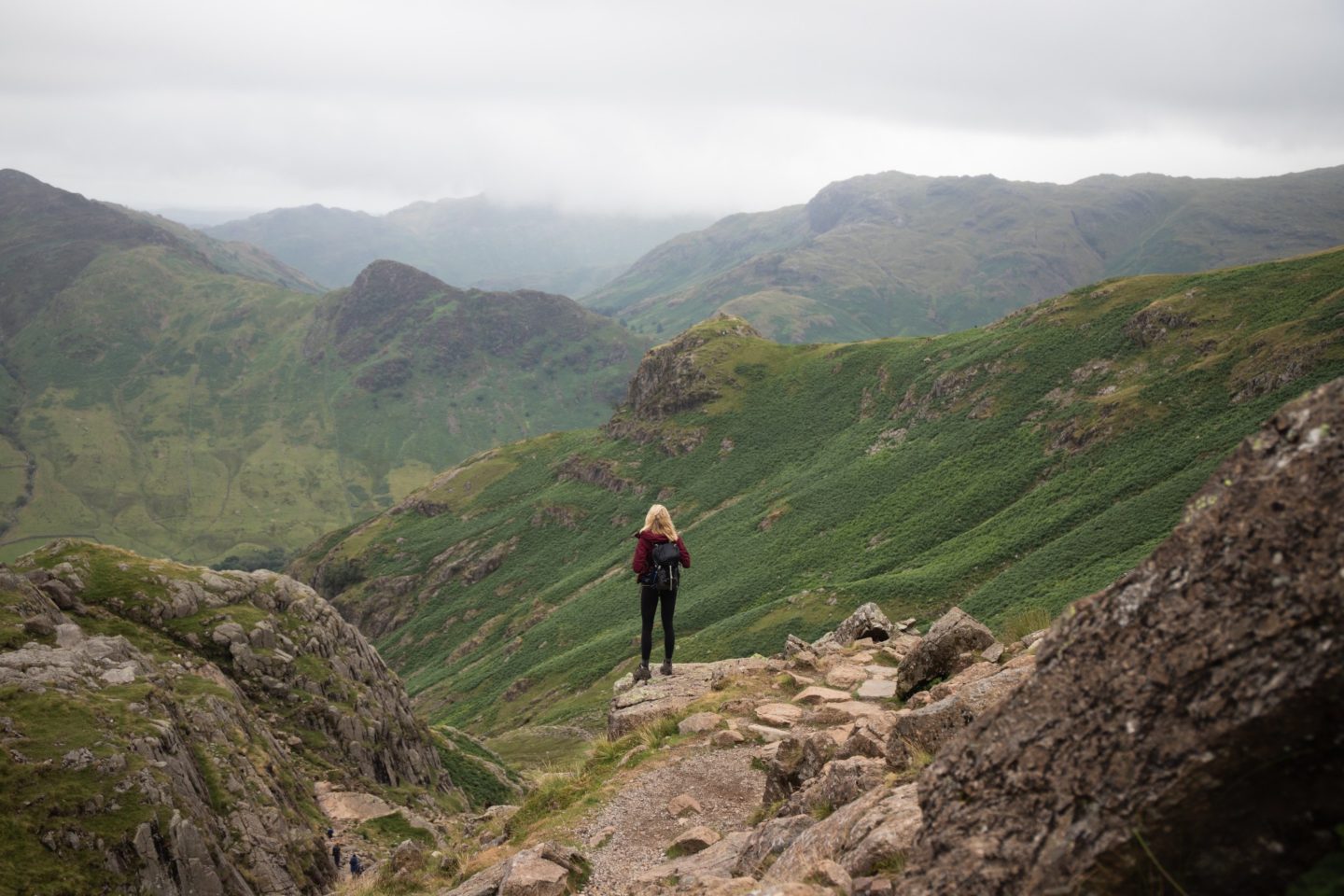
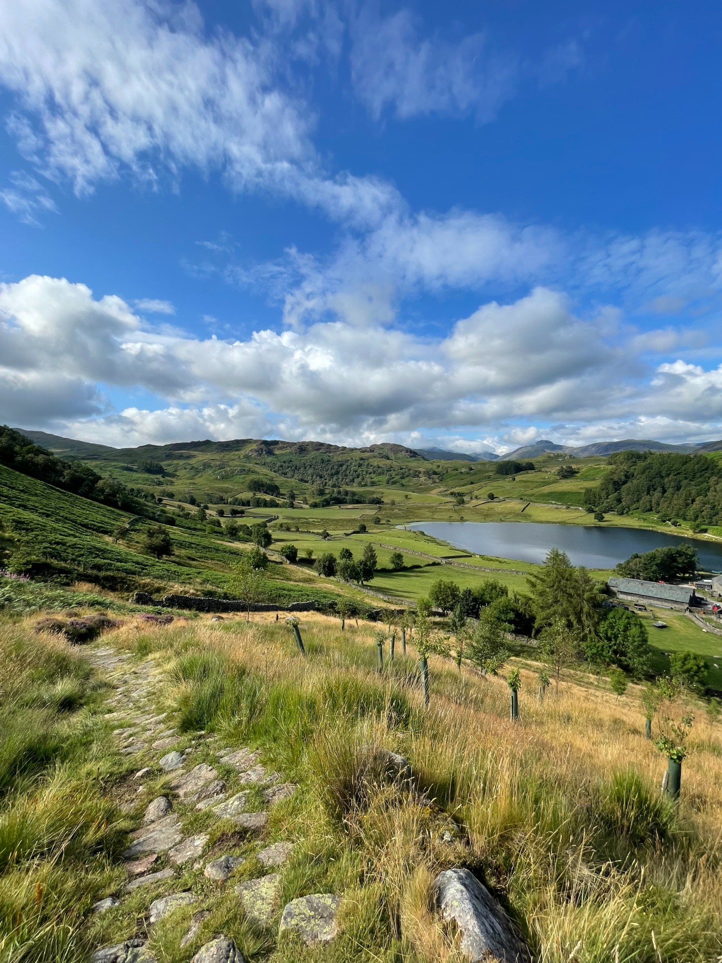
The Best Hikes in Lake District:
Old Man of Coniston:
Distance: 10.56km
Elevation Gain: 729m
Difficulty: Challenging
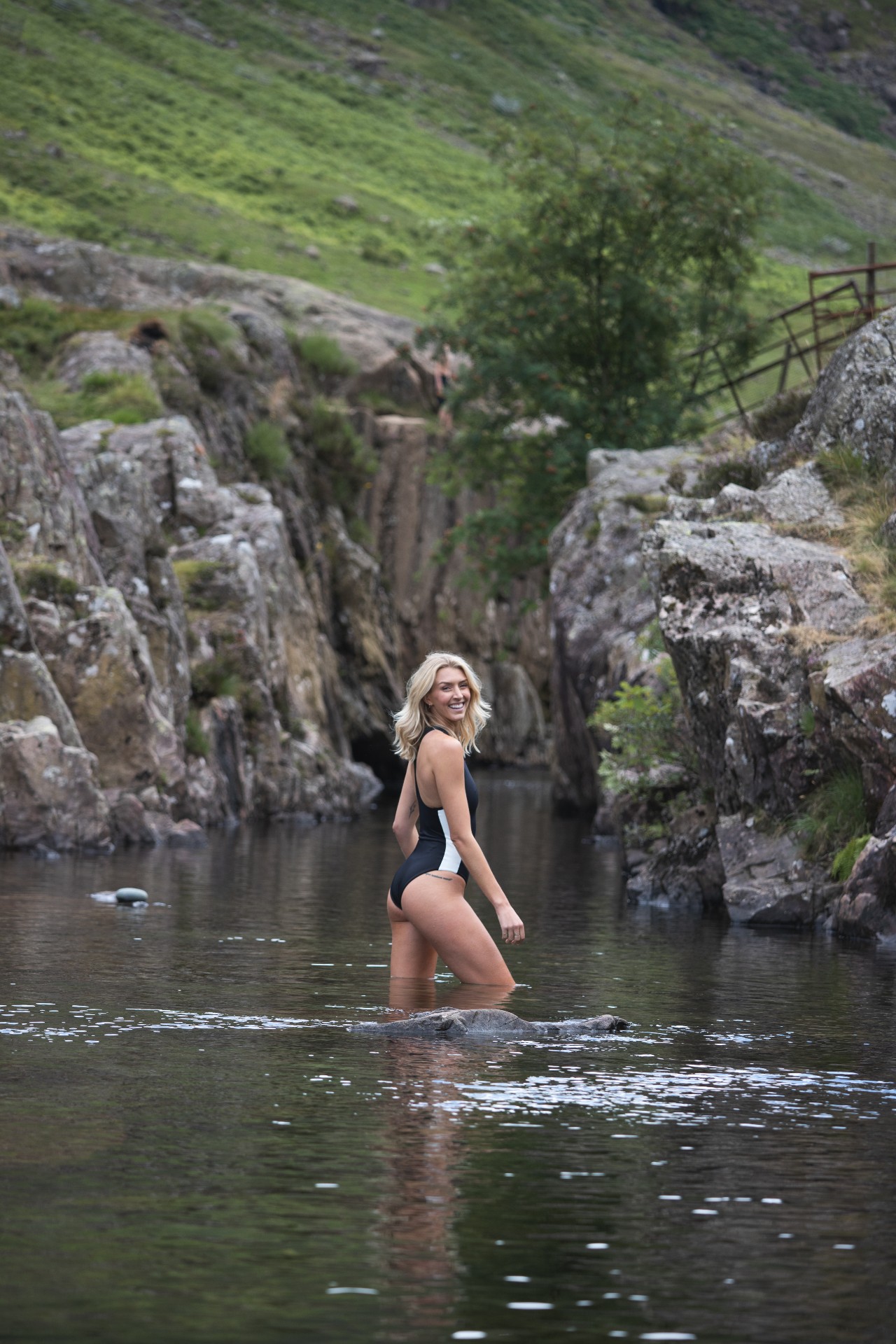
Wild Swim Spots: Low Water.
Route: Click Here
This iconic hike takes in five peaks; The Old Man of Coniston, Brim Fell, Dow Crag, Buck Pike and Brown Pike. A challenging initial climb past Low Water (a great swimming spot) gives beautiful scenic rewards and the rest of the hike isn’t too strenuous but remains incredibly beautiful.
Fairfield Horseshoe:
Distance: 17.51km
Elevation Gain: 1200m
Difficulty: Challenging
Wild Swim Spots: Rydal Water nearby.
Route: Click Here
The hike starts with a tough climb out of Ambleside, but once you reach the top the route eases off in terms of difficulty. You will have stunning views over much of Lakeland and tick off numerous peaks including Nab Scar, Heron Pike, Great Rigg, Fairfield, Hart Crag, Dove Crag, High Pike and Low Pike.
Langdale Circular:
Distance: 20.68km
Elevation Gain: 1400m
Difficulty: Challenging
Wild Swim Spots: Stickle Tarn and Angle Tarn. Blea Tarn nearby.
Route: Click Here
This beast of a hike is not for the faint hearted, but I promise you will be rewarded for your hard work. Once you’re on top of the fells you will have stunning views in all directions, including ones of and from the famous Crinkle Crags. The trail takes in numerous peaks as well as two high tarns, the perfect spots for a refreshing mid hike swim.
Helvellyn:
Distance: 13.5km
Elevation Gain: 815m
Difficulty: Challenging
Wild Swim Spots: Red Tarn (slight detour off trail)
Route: Click Here
The ascent up Helvellyn via Striding Edge is perhaps the most famous ridge hike in the Lake District, not just for its awesome views but for the mental and physical challenge it offers. You will need nerves of steel to take on this uphill scramble with large drops on either side of the trail. Know your limits and only take on this hike if you’re fit, light on your feet and feel confident climbing. This route is not safe on rainy, windy or cloudy days.
Kentmere Horseshoe:
Distance: 19km
Elevation Gain: 1100m
Difficulty: Challenging
Wild Swim Spots: None.
Route: Click Here
If you want to get away from the crowds and off the beaten track, then give this trail a go. It is pretty relentless with lots of inclines and declines, but the views are phenomenal. I recommend starting early as parking is extremely limited near the trailhead.
Borrowdale Loop:
Distance: 14.5km
Elevation Gain: 336m
Difficulty: Easy to Moderate
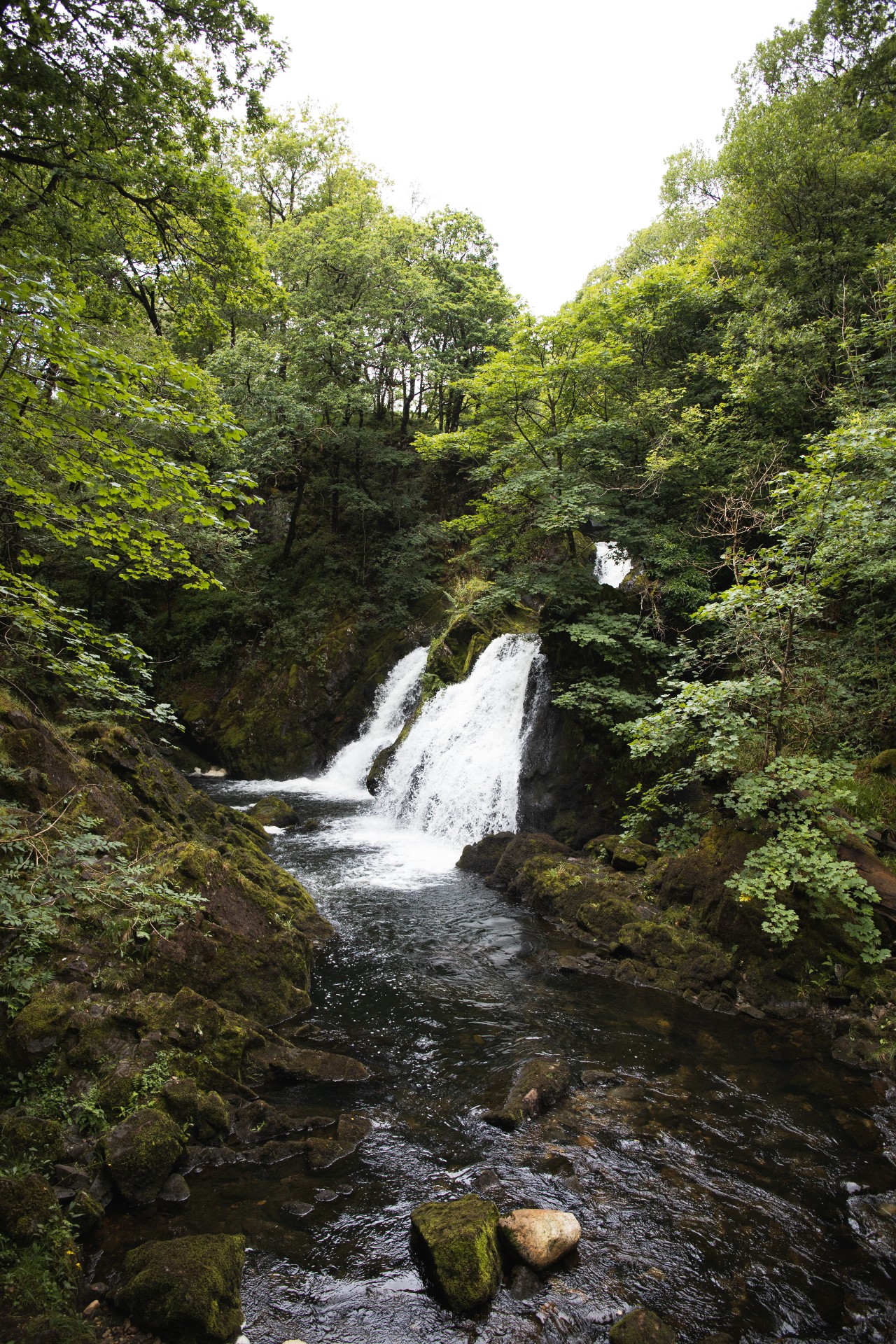
Wild Swim Spots: Black Moss Pot & Galleny Force.
Route: Click Here
On a day with low clouds I recommend trying out a lower walk through some of the gorgeous valleys in the Lake District. This route focuses on Borrowdale, taking in various rivers, streams and waterfalls. There is the option to extend the route to take in the renowned Black Moss Pot wild swimming location.
Scafell Pike:
Distance: 8.5km
Elevation Gain: 948m
Difficulty: Challenging
Wild Swim Spots: Wast Water
Route: Click Here
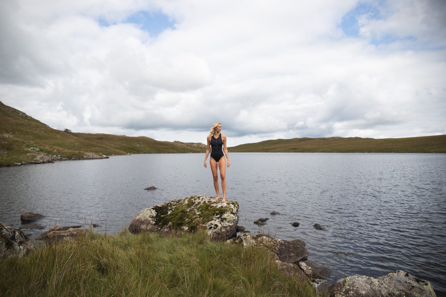
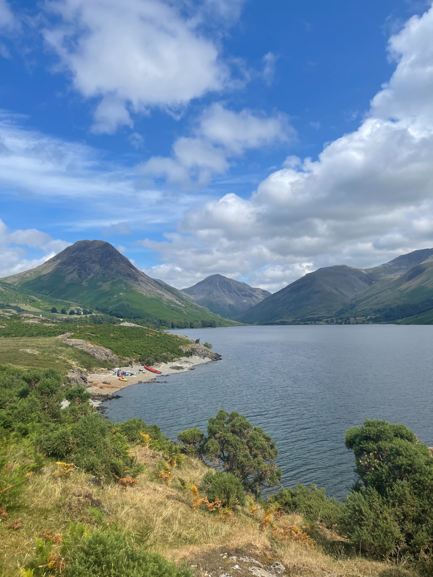
I can’t write a hiking guide for the Lake District without including the highest mountain in England, Scafell Pike. There are numerous routes up this legendary mountain, many of which are off the beaten path (such as the Corridor route which is longer and more scenic), but I wanted to recommend one which starts in Wasdale. This is one of my favourite valleys in the Lake District and home to Wast Water, an unbelievably stunning lake which would be the perfect spot for a post-hike swim. Warning: expect crowds on this route!
Buttermere & Haystacks:
Distance: 15.34km
Elevation Gain: 1180m
Difficulty: Challenging
Wild Swim Spots: Buttermere.
Route: Click Here
Buttermere lake is a more secluded wild swimming spot surrounded by peaks which are crying out to be conquered. This route kicks off with a tough incline and then eases off as you reach the top and take in the scenic Fleetwith Pike, Haystacks, High Crag, High Stile and Red Pike.
Great Gable, Kirk Fell & Pillar:
Distance: 16.3km
Elevation Gain: 1400m
Difficulty: Challenging
Wild Swim Spots: Wast Water.
Route: Click Here
If you fancy a challenge, take on this route. The mega elevation gain plus the tricky trail at times means you will be pushed outside your comfort zone. You will get rewarded greatly for your efforts, with some of the best views in the lakes.
Eskdale Fell:
Distance: 15.1km
Elevation Gain: 730m
Difficulty: Moderate to Challenging
Wild Swim Spots: Burnmoor Tarn & Blea Tarn.
Route: Click Here
I was recommended this trail by a friend of mine who loves it. It takes in multiple tarns, perfect for a mid-hike swim, and gives awesome views over Eskdale and the wider Lake District.
Newlands Horseshoe:
Distance: 17.2km
Elevation Gain: 922m
Difficulty: Challenging
Wild Swim Spots: Derwentwater.
Route: Click Here
A strenuous walk with stunning views. There are a couple of big climbs as well as ongoing undulations in the trail, including summits of Hindscarth, Dale Head and High Spy. I recommend doing the trial anti-clockwise so you finish at the famous Catbells peak and views over Derwentwater.
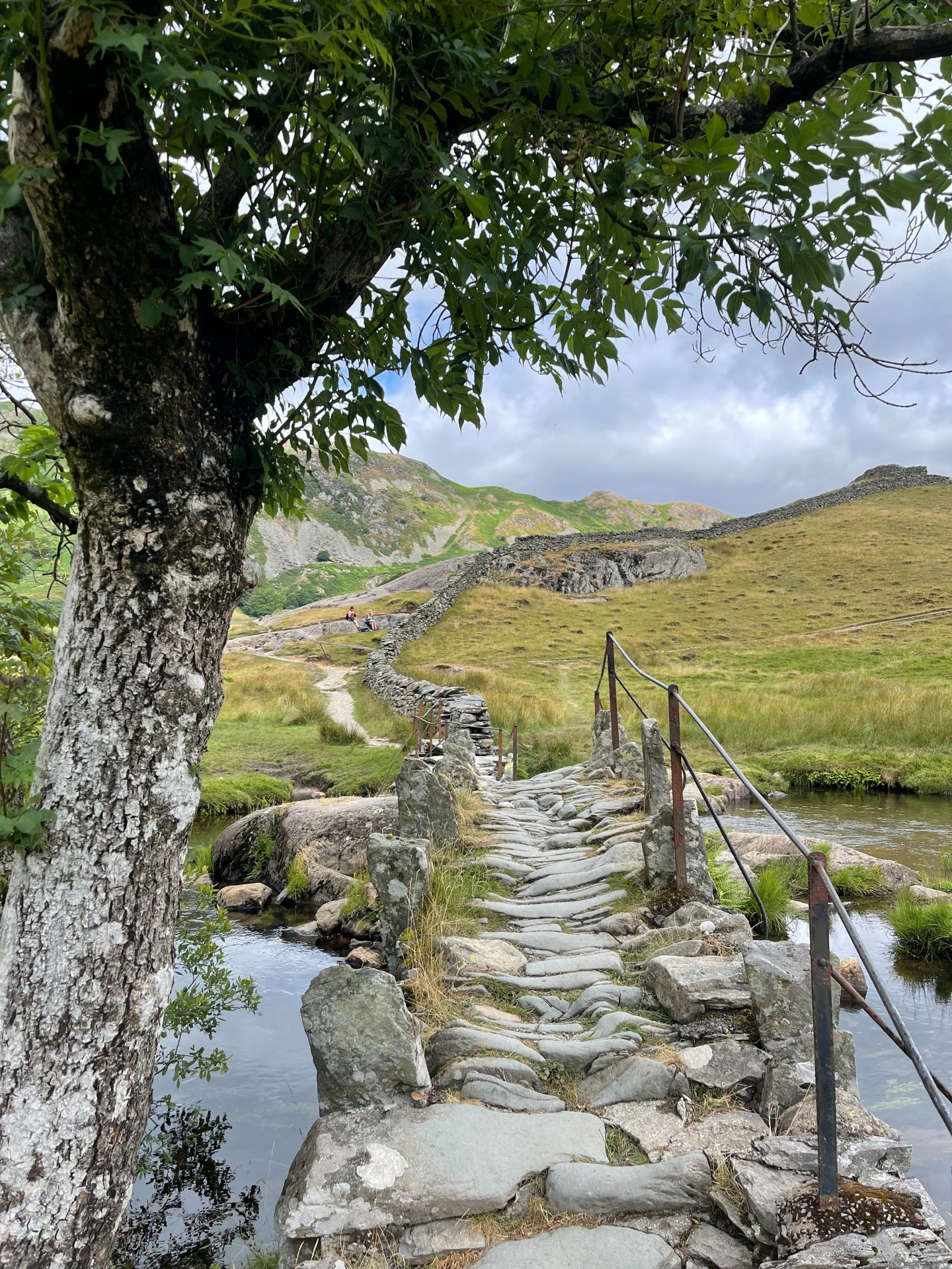
Little Langdale & Elterwater:
Distance: 10.6km
Elevation gain: 472m
Difficulty: Moderate
Wild Swim Spots: Elterwater.
Route: Click Here
This varied walk focuses on exploring some of the Lake District valleys, so is a good option for cloudy days. It takes in Skelwith Force and Colwith Force waterfalls, Little Langdale, Slater Bridge (which is adorable!) and Elterwater. There is the option to extend the trail to take in the Cathedral Chamber which I highly recommend.
Blencathra via Sharp Edge:
Distance: 8.4km
Elevation Gain: 692m
Difficulty: Challenging
Wild Swim Spots: Scales Tarn.
Route: Click Here
Every time I catch a glimpse of Blencathra I am taken aback by how epic it really is. It is such a large and powerful peak in the Lake District landscape. This route up Sharp Edge is not for the faint hearted and you will need a head of heights. At the top you can see far and wide, even to Scotland on a clear day! Do not attempt this route in cloud, wind or rain.
Hartsop to High Street:
Distance: 18.21km
Elevation Gain: 1078m
Difficulty: Challenging
Wild Swim Spots: Angle Tarn on the trail, Ullswater nearby.
Route: Click Here
Starting off in Hartsop, this route takes in five peaks, one tarn and incredible views over the Lake District. This side of the national park is typically a little quieter on the trails, but I still recommend starting early to avoid most of the crowds. Ullswater is nearby, one of my favourite lakes for a post-hike swim.
Hopefully these hikes have got you covered for your trip to The Lakes, but if you’re looking for more options then I recommend checking out online resources such as AllTrails and Walk Lakes. If you’re looking for a physical hiking book, then I like this one and this one.
Happy hiking!
Zanna x
